Study: 300,000 People May Live in Himalayan Disaster Zones
A peer-reviewed study finds built-up land in high-risk areas of Nepal, Tibet and Uttarakhand grew by about 45% between 2016 and 2023.
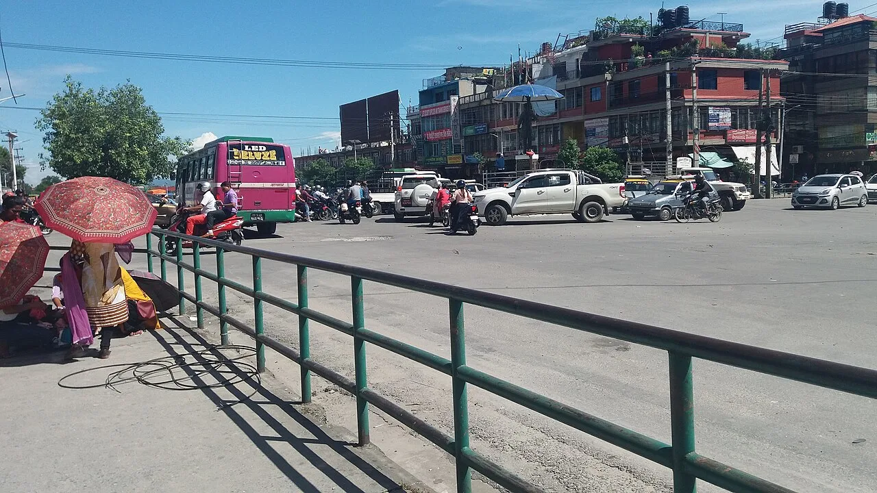
At least 300,000 people in parts of the Himalayas could be living in the path of potential disasters, a new study suggests. Researchers found that built-up land in high-risk zones in northern Nepal, parts of south-eastern Tibet and a corner of India's Uttarakhand grew by about 45% between 2016 and 2023.
Near glacial lakes, development rose even faster, by almost 78%. The study was published in Scientific Reports. Its nine authors, from the UK, Nepal and India, looked at areas up to 50km downstream from Himalayan rivers and around about 1,360 glacial lakes. They found growth in tourism facilities, infrastructure and real estate. The true number of people at risk could be higher, they said, because they analysed only a specific territory.
The work was done before August's mass floods, which left more than 1,400 dead and thousands missing in Nepal. On 11 October, flooding along the Budhi Gandaki river damaged 200 houses, swept away five bridges and left five people missing.
Pokhara and the Annapurna region
Pokhara, a tourism hub that has grown sharply in 30 years, shows the pattern. Mayor Dhana Raj Acharya said the Seti Gandaki River, which flows through the city, is a huge challenge. Many old buildings stand just 5m from the banks despite new rules requiring more distance. "Where we move them, and how we do that, is the real challenge," he said.
Near the Annapurna trekking region, homestay owner Phurpa Chhiring Lama said only five of his 20 rooms are occupied now, in peak trekking season, when all are normally full. Laxman Subedi, president of the Hotel Association Pokhara, admitted that tourism businesses expanded "without any proper planning".
Hydropower plants have also multiplied around the Bhotekoshi and Trishuli rivers. "As river valleys become increasingly populated, development decisions being made today will shape disaster risk for decades to come," said lead author C Scott Watson, a glaciologist at the University of Leeds.
Scientists say warming in the Himalayan region is happening at twice the global rate, which speeds the melting of glaciers and snowpacks and can destabilise mountain slopes. Melting also fills and expands glacial lakes until they burst. Nepal alone has documented around 30 such events since 1940.
Rules and enforcement
The study counted buildings within 50 vertical metres of a river or lake surface as at risk. Yet during the 26 August flood, locals in Rasuwa district said the river rose 70m in places.
Nepal's national disaster agency says settlements within 15m of the riverbank along the Rasuwa-Bhotekoshi corridor will soon be banned. In Uttarakhand, the state cabinet approved floodplain zoning rules on 12 October, though activist Anoop Nautiyal says rules on paper are not enforced on the ground.
Alton Byers, a mountain geographer at the University of Colorado who was not involved in the study, said it should serve as a "springboard" for more effective early-warning systems and other precautionary measures. Campaigners say building regulations are not implemented on the ground.
Source: BBC News