UK Set for Up to 10 Dry Days After Its Wettest Week in Two Years
High pressure is returning after Storms Austen and Boelo, bringing fog, light winds and cooler nights, with a change possible around mid-November.
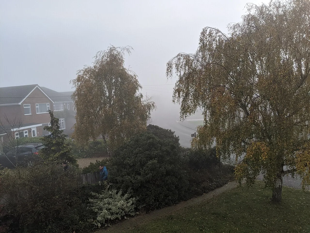
The UK could see as many as 10 consecutive days without rain. The dry spell follows an unsettled end to October with back-to-back storms.
The Environment Agency said England had its wettest week in two years because of Storms Austen and Boelo. Rain from the two named storms and another area of low pressure on Monday made it the wettest week across the UK for two years. They were the first named storms of the season. Boelo stood out for the sheer volume of rain it brought.
Fog and cooler nights
High pressure is now returning. It will bring a prolonged spell of largely dry, calm and settled weather with plenty of light winds. Mist and fog will be a persistent feature, and some patches will be dense and slow to clear in the mornings. That could reduce visibility and cause travel disruption.
Once the fog lifts, brighter spells should develop, although some areas of low cloud may linger. Temperatures are expected to edge lower over the coming days, particularly at night and in the early mornings.
Halloween evening was forecast to stay largely dry, with a few spells of rain possible in the Western Isles of Scotland. Across most of the UK, skies were expected to be clear and winds light as darkness fell.
What comes next
The high pressure is set to stay over or near the UK for at least 10 days. The dry pattern looks set to continue into early November, with little prospect of significant rainfall.
A change could begin around mid-November. High pressure could loosen its hold and let Atlantic low-pressure systems approach. That would mean wetter and windier weather again, with most areas probably seeing average or above-average rainfall.
El Niño, a climate pattern in the Pacific Ocean, is still intensifying. It has been tied to wetter and stormier UK weather between late autumn and early winter.
Source: BBC