Dry but Chilly Bonfire Night Forecast After Record-Warm 2025
High pressure should keep most of the UK dry this week, with single-digit nights and some fog. Last year was the warmest Bonfire Night on record at several stations.
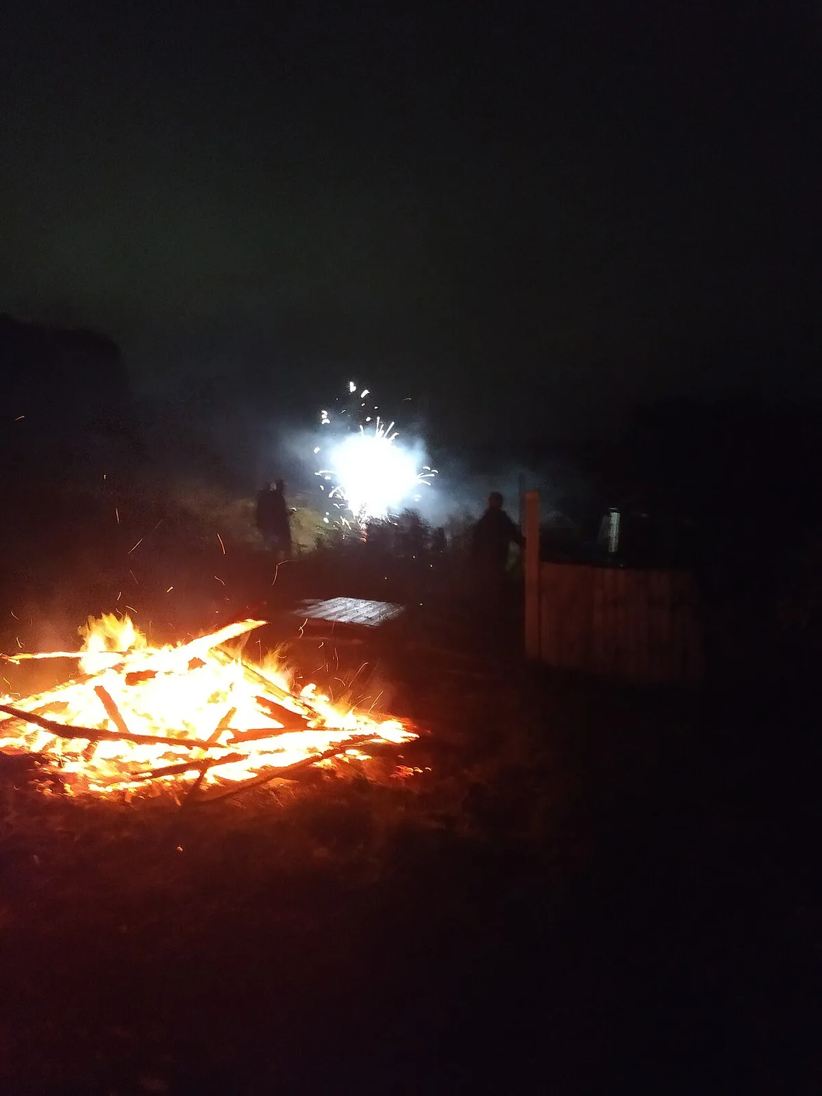
Bonfire Night is set to be dry and cold across most of the UK. High pressure has built after a stormy end to October, and BBC Weather expects it to dominate for the rest of the week.
Last year was the warm outlier
Thursday night's temperatures are forecast to fall to the mid-single figures. That is more or less the seasonal average, but it is far colder than 2025. On 5 November that year, parts of the southern half of the UK did not fall below 14C. It was the warmest Bonfire Night on record at a number of weather stations, including Southampton, Teddington, Portland, Bude and Anglesey.
Clear skies, frost and fog
A touch of frost is possible in sheltered spots in the northern half of the country. Under any clear spells, fog is likely to form overnight, especially in the north and in the lee of the easterly breeze.
Those planning to watch fireworks on Thursday evening are advised to wrap up warmly.
Where it may be wet
An easterly wind means showers could drift in from the North Sea coast across eastern Scotland and eastern England throughout Wednesday. After that, soggy kindling should not worry most people hosting or attending a bonfire on Thursday.
Across the rest of the UK, days should be dry and settled, with cloud and some sunny spells. The best of the sunshine tends to be in the west. By night, temperatures dip into single digits.
Weekend celebrations
Many displays are scheduled for Friday and Saturday, and Hindu communities mark Diwali on Sunday, 8 November. Forecasters expect the weather to cause no issues.
The high will move east gradually, yet it should stay dominant through the weekend. That keeps conditions generally dry and chilly. Fog could spread more widely as winds lighten, particularly under clearer skies.
The picture beyond the weekend is hazier. Low pressure systems may spin in from the west next week, but uncertainty remains.
Our View
A dry forecast is good news for organisers, but fog is the one risk to watch, since it affects visibility at displays and on roads home. It is likeliest where skies clear and winds ease. The longer range is open, as the forecasters themselves say.
Source: BBC Weather